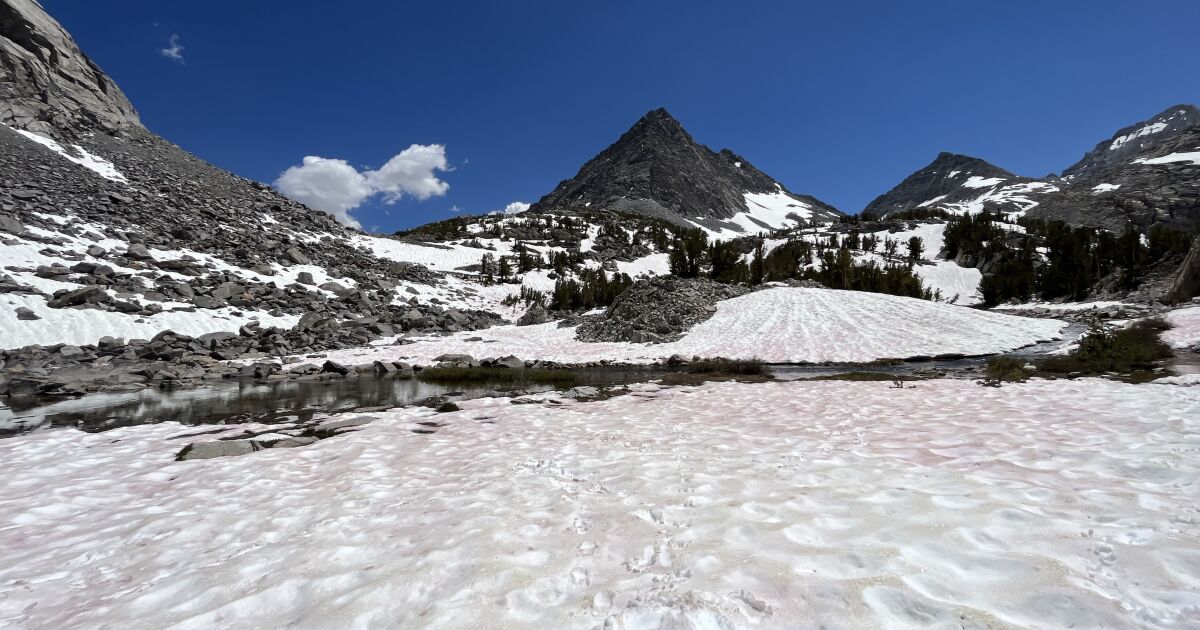
Visitors to the Sierra this summer may be shocked to see the mountains still shrouded in significant amounts of snow. Their surprise would be warranted: Experts say that this year’s prolonged Sierra Nevada snow has few precedents in recent history.
“It’s pretty great to still have snowpack around,” said Andrew Schwartz, lead scientist at the UC Berkeley Central Sierra Snow Laboratory.
“So often by this time in the year we’ve talked about how we haven’t had enough snow and rain, and the drought, and how fire season is still going on,” he said. But this year is different.
With forests still moist and reservoirs mostly full, this year we enjoy “a nice departure from the doom and gloom of dry conditions,” Schwartz said.
In addition to replenishing the parched California landscape, the snow will provide opportunities for winter sports late into the year. Mammoth Mountain announced last week that snow levels enabled it to stay open into August, only the third time ever the resort has operated that late into the summer.
The image below shows the Sierra Nevada range on July 14, 2022, and a year later on July 14, 2023.
In 2022 — the upper image — the landscape is arid, snow is sparse and smoke from a fire can be seen. A year later, the satellite image from the National Aeronautics and Space Administration tells a different story.
In 2023 — the lower image — the landscape is greener, with far more snow is visible in the Central and Southern Sierra.
One of the most reliable ways to quantify the amount of snow still present on the mountains is the water runoff in the basins around the Sierra, said Sean de Guzman, manager of snow surveys for the Department of Water Resources.
DWR data reviewed by The Times showed that every Sierra water basin south of the Bay Area remains at least 200% of normal runoff levels from April through July, even in a relatively dry winter and spring. Experts said this indicated heavy snowmelt and snowpack.
The Tule and Kern basins, at the bottom of the Southern Sierra, each showed nearly 400% of normal runoff levels.
As for the snow contributing to runoff, De Guzman said, “There is still some snow up there.”
“It is very rare to have snow this late in the season,” he noted, but “this year’s snowpack was one for the record books.”
Past precedents include 1969, 1983 and 2011, though De Guzman said in the latter two years there was more precipitation in the spring and summer than this year, buffeting the snowpack.
This story originally appeared on LA Times

